Stage 2
It originally started as a tadpole rescue mission by children while we were still working at the Scuola Vivante. From there, a 3.5-hectare restoration project unfolded (see overview below). We continue to support and promote this initiative.

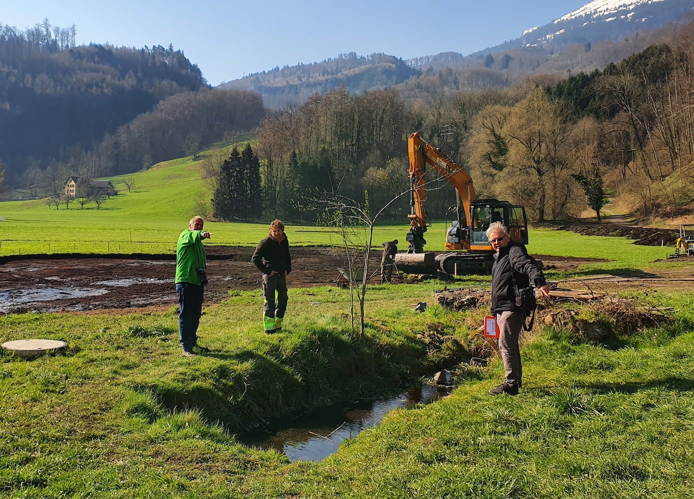
Finding the ideal window of time to implement Stage 2 wasn’t easy. January and February 2020 were characterized by wet, warm weather. Removing and moving around 1,200 m3 of earth with heavy machinery requires frozen or dry ground. Compaction and the associated soil damage from excavators and transporters must and should be avoided.
This is difficult in the Rietli, an original moorland area that was drained during land improvement, making it manageable for farmers only when the ground is dry. Close soil monitoring by specialists was required. On March 15, we got the green light for implementation. It was the start of an ideal two-week window and the beginning of the first COVID-19 lockdown. This gave the local population plenty of time to take part in the events.
Overview of Stage 2

The site is characterized by different zones and water depths. Dark blue represents the permanent water surfaces that lie lower than the outlet structure. Light blue and blue hatching indicate the temporary flooding area, which promotes litter meadow vegetation. This can be drained for management in autumn/winter. The southern waters are separated from the main body of water. Only rainfall fills these side waters in the meantime, creating different water and temperature conditions.

Preparation and excavation

As preparation for topsoil removal, the elevation model is transferred to the project area.
Removing and separating the topsoil (humus layer), the clay layers, and the peat requires a lot of sensitivity and experience. Loamy material is used as a seal for the water areas. Topsoil and peat are stored temporarily and later distributed to neighboring fields to improve the soil.

Logs and excavator mats were used to prevent soil compaction.

Monk outlet
Water level regulation is ensured via a monk outlet acting as an overflow structure. This allows the water level to be adjusted individually. The monk outlet was anchored on a concrete slab and connected to the existing pipe leading toward the Röllbach stream.


Opening the spring
Preparing the spring requires a lot of experience and care. The spring provides around 60 liters per minute, which was previously discharged directly into the Röllbach. The moment of opening on April 2, 2020—with the simultaneous closure of the existing underground drainage—is eagerly awaited.


Interest and joy

The local population is taking a great interest in the project. People recognize and appreciate the enhancement of their living environment. The project team has been overwhelmed with consistently positive feedback from the community.

Habitat

The Rietli restoration project: a habitat for endangered plant and animal species and a local recreation area for people.

Overview of stages
The Rietli Buchs is an area with high ecological potential. This is being reactivated and put together into a habitat mosaic.
Stage 1 – Forest edge and dry stone wall
This stage was realized with specialists and through the active participation of students from the Scuola Vivante—at a time when the youth climate movement was busily drawing attention to the ecological state of our planet.

Restoration of around 70 ares of forest edge through targeted thinning with an average working depth of 25 m. Planting with around 100 different native hedge shrubs.
Dismantling the old wall and rebuilding a new 60-meter-long and one-meter-high dry stone wall. Planting the wall slope and top with 38 species of wild perennial seedlings.

Website
Schuldlos, learning path, and information
As part of the students’ collaboration at Scuola Vivante, an initial website with a diverse school blog is being created. This will serve as a learning path, a knowledge transfer tool, and an information platform.
rietli-buchs.ch

Stage 2 – Water
Spring opening and wetland
Restoration of around 70 ares in the northern part of the site. To create water and wetland areas, 33 ares of topsoil were removed and the existing spring was opened into a stream that feeds this shallow water area. The rest will develop into extensive flower meadows.

Stage 3 – Connections
Connecting biodiversity areas
Expansion of the project area toward the south, networking with previous biodiversity promotion areas.
In the drier areas, flower meadows and tall herb communities, as well as a restored forest edge, complement the wetlands.